

Edge of Woods Road to Barrel Hill and the Paumanok Path

In North Sea, there is access to the top of Barrel Hill and then on to the Paumanok Path (PP) from Edge of Woods Road. The directions to this Trailhead are as follows: from CR 39, turn north on North Sea Road. Immediately bear right onto Majors Path, continue past the North Sea Mecox Road intersection; after 1.4 miles turn right onto Edge Of Woods Road, pass Long Springs Road. After 0.9 miles just before where the power lines pass overhead, the Trailhead is on the left side of the road.
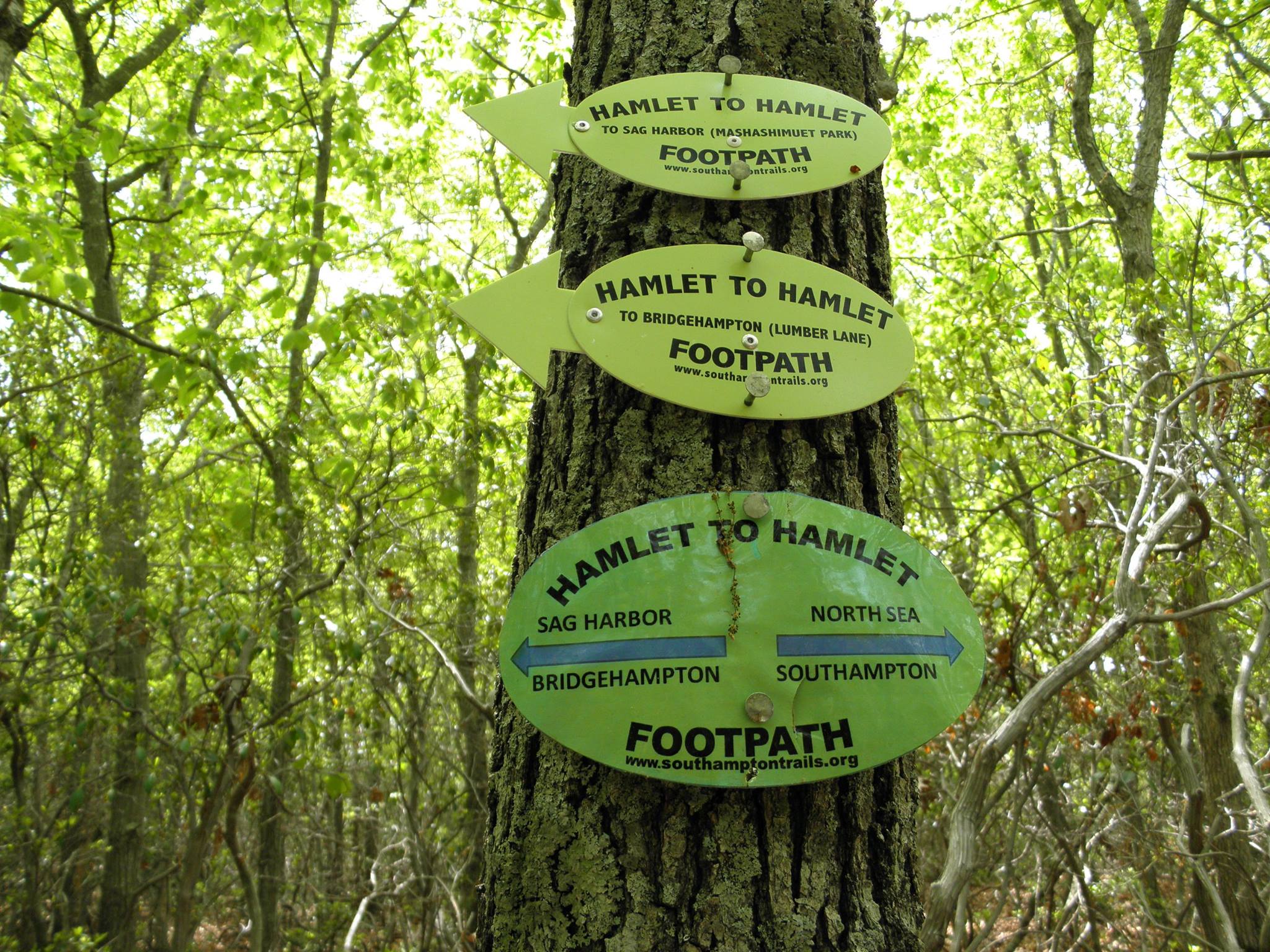
The trail is blazed with yellow owl plastic markers. On the right side of the road, there is room for two cars to park on the shoulder. There is no sign indicating that this is a trail parking area and there are no hiker signs cautioning approaching drivers that this is a trail access area.
Heading north, the trail traverses a narrow corridor with a driveway on the right and a house on the left. After a short distance, the woods widen into a canopy with oak above and blueberry below. At the first trail intersection, the yellow owls continue on straight; Southampton Town has installed a hitching post monument for Buzz Schwenk. The plaque reads: “Buzz’s Bridle Path, dedicated to Edwin “Buzz” Schwenk by the Southampton Town Board in recognition of his commitment to Community Preservation. Spring 2007.”
After another short distance, there is a “T” intersection; turn right to follow the yellow trail, continuing north. Or turn left and start following the blue owls to the Barrel Hill summit. If you have followed the yellow owls after about three-quarters of a mile you will have passed the summit of Barrel Hill and rejoined the other end of the blue owl loop. The summit of Barrel Hill is a short detour to the left following the blue owls from this intersection. At the top of Barrel Hill is a geodetic survey marker dated 1932; you’ve reached the high altitude of 239 feet above sea level, with winter views to Connecticut on a clear day.


Note as you go back down this north side of Barrel Hill you are adjacent to a county antenna and a trail being used by illegal trail bikers. After winding through untouched woods the yellow trail crosses a well-worn woods road and then arrives at the PP; Montauk Point to the right and Brookhaven’s Rocky Point to the left. Turning left at this intersection will take you adjacent to the Southampton Youth Services facility.
Turning left at this intersection can also take you to a trailhead at the end of Wireless Way. Note the Split Rock Sportsman’s Association “No Trespassing” signs. This gun club has land agreements with nearby owners, but if you stay on the PP, you are not trespassing. If you turn right to follow the PP east, at the next “T” intersection the turn blaze has been painted over. This is Split Rock “Road,” a well-established woods path that has been chopped up by vehicles.
Turn left and follow this straight sandy path north about one mile to the next turn blaze, where you will find Split Rock. Split Rock, is a large glacial erratic. It’s a great place to sit and have lunch, providing an excellent vantage point for watching the woods below. Unfortunately, the rock has been defiled by spray paint and litter.
Continuing east, the PP can be followed across Great Hill Road, over a knob and kettle topography with tantalizing glimpses (between houses) of the Peconic Bay with Nassau Point and Robins Island in the distance. The PP continues to run almost straight north from here weaving its way between backyards almost to Noyac Road. The trail is pushed north of the deepest, most crucial groundwater deposits.
Despite the closeness of residential development, these trails offer a very pleasant escape into nature.
SOUTHAMPTON TRAILS
PRESERVATION SOCIETY
P.O. Box 1171
Bridgehampton, NY 11932