

Trailhead by The Long Pond Greenbelt Nature Center
Generously Contributed by Ken Kindler
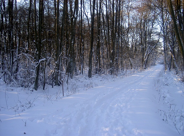
The parking area is close to the Nature Center; a good place to begin my explorations. I walked around the post and rail fence and could see Crooked Pond in the distance. I crossed over the churned-up tread of the Old Railway Trail; a discontinued and dismantled railway connection between the Bridgehampton train station and Sag Harbor’s Long Wharf. This trail travels on a raised embankment offering some nice views into Crooked Pond, and Little Long Pond, but walking on the churned-up trail tread is unpleasant.
Heading through a post and rail kissing gate that runs along the east side of the RR Trail, I continued down a short incline to the Crooked Pond Trail. I turned right, heading south, Crooked Pond to my left, the railroad embankment to my right. At the next crossroads, I turned left, past a bench overlooking the pond, and navigated a small network of trails around the southern portion of Crooked Pond. Here I intersected Widow Gavitts Trail, where I turned left along the eastern side of Crooked Pond. The trail gradually turned into Widow Gavitts Road which is paved. I passed Sprig Tree Path on my right and searched to my left for where this paved road continues as a hiking path. On the left side of the road, I found an overgrown trail bisecting a driveway and Widow Gavitts Road.
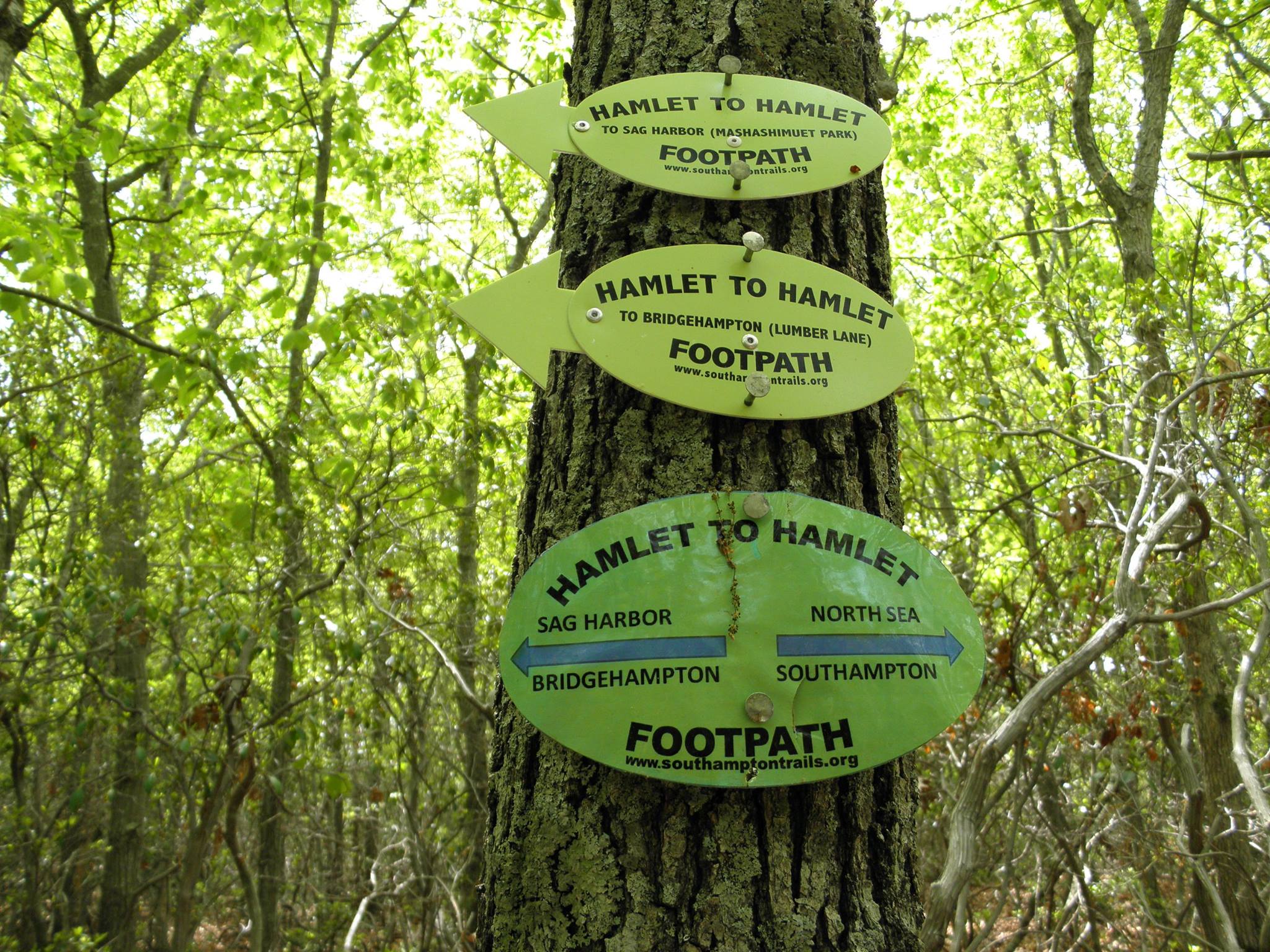
I followed it into wetlands and had to work my way around a large puddle and across a narrow brook before I found the path again. A little further north on Widow Gavitts Road, on the right side, there is a wide boat launch road that also leads to Sprig Tree Path. I followed Sprig Tree Path past where it intersects Crooked Pond Trail, over the LIPA ROW. Here Sprig Tree Path has the white blazes of the Paumanok Path.


Note as you go back down this north side of Barrel Hill you are adjacent to a county antenna and a trail being used by illegal trail bikers. After winding through untouched woods the yellow trail crosses a well-worn woods road and then arrives at the PP; Montauk Point to the right and Brookhaven’s Rocky Point to the left. Turning left at this intersection will take you adjacent to the Southampton Youth Services facility.
Turning left at this intersection can also take you to a trailhead at the end of Wireless Way. Note the Split Rock Sportsman’s Association “No Trespassing” signs. This gun club has land agreements with nearby owners, but if you stay on the PP, you are not trespassing. If you turn right to follow the PP east, at the next “T” intersection the turn blaze has been painted over. This is Split Rock “Road,” a well-established woods path that has been chopped up by vehicles.
Turn left and follow this straight sandy path north about one mile to the next turn blaze, where you will find Split Rock. Split Rock, is a large glacial erratic. It’s a great place to sit and have lunch, providing an excellent vantage point for watching the woods below. Unfortunately, the rock has been defiled by spray paint and litter.
Continuing east, the PP can be followed across Great Hill Road, over a knob and kettle topography with tantalizing glimpses (between houses) of the Peconic Bay with Nassau Point and Robins Island in the distance. The PP continues to run almost straight north from here weaving its way between backyards almost to Noyac Road. The trail is pushed north of the deepest, most crucial groundwater deposits.
Despite the closeness of residential development, these trails offer a very pleasant escape into nature.
SOUTHAMPTON TRAILS
PRESERVATION SOCIETY
P.O. Box 1171
Bridgehampton, NY 11932
