

KURT BILLING LOOP TRAIL IN THE TUCKAHOE WOODS PRESERVE

With the help of the Southampton Trails Preservation Society, the Group for the East End, and a number of close friends of Kurt Billing, a new hiking trail has been created in the Tuckahoe Hill Preserve.
Named the Kurt Billing Loop Trail in honor of one of the key players who worked for many years to establish the preserve, the 2.5-mile route has been designed to showcase the preserve’s scenic views and interesting ecological attributes.
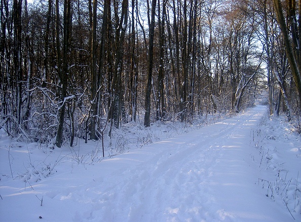
From the parking area on Sebonac Road, walk past the trailhead sign and across a flat meadow to the terraced footpath leading up the slope of an old sandbank that is being revegetated (1). The trail continues north, following along the top of a low ridge covered by an oak and hickory forest with its typical understory shrub layer of huckleberry and lowbush blueberry. At the north end of the ridge, the trail descends towards a small vernal pond that was partially excavated, perhaps for its clay soil, many years ago (2).
At the west end of the pond is a trail junction where the Kurt Billing Loop Trail, marked with yellow rectangular blazes, passes to the left and right. Take the right, and pass along the north side of the vernal pond before turning left and passing through stands of clethra and swamp azalea, and having several views of other vernal
ponds and swamps from the trail.
There are many of these vernal ponds and swamps dotted throughout the preserve, adding much biodiversity to the area and playing an important role in the lifecycles of several species of amphibians. In the early spring, wood frogs and spring peepers call from the cold waters to attract mates and lay eggs. Spotted salamanders emerge from their subterranean haunts in the forest and move silently towards the ponds to mate under the cover of darkness.

By mid-spring, the ponds are full of egg masses, fairy shrimp, and other tiny aquatic organisms. Later in the season, grey tree frogs and the secretive spadefoot toads add their egg masses to the mix. In a wet year, the odd-looking salamander larvae and tadpoles will metamorphose into their respective adult terrestrial forms and exit the pond. In other years the pond may dry up completely, eliminating that year’s new recruits but ensuring that the ponds remain free of fish predators.
At the next trail junction (3) a spur trail out to Sandy Hollow Road (marked with plastic blazes) goes off to the right. Turn left to continue on the yellow-blazed loop trail, ascending two knolls whose oaks have been hit hard by consecutive years of insect damage, killing quite a few.
After crossing a very straight path that is actually an old property boundary (4), and a wide woods road that leads to another sandpit, the trail passes through two small groves of American beech before beginning the gradual ascent to the summit. A large portion of the summit is covered with non-native grasses that were introduced by Southampton Village’s composting operation. Although only 127 feet in elevation, the top of Tuckahoe Hill offers an amazing 180-degree view to the north with only one structure visible on the south fork: the tall silo near Scallop Pond at Cow Neck.
We hope to get permission from Southampton Village to construct a viewing platform over the remains of the concrete foundation that was part of a lookout tower with a 360-degree view during World War II.

We also hope to convince village officials to dedicate their property, which lies in the heart of the preserve, as a “nature preserve” and discontinue the shooting range, fire drills, and composting activities that are not compatible with the surrounding publicly-owned, nature preserve lands.
Continue along the loop trail, descending by way of a low, narrow ridge (5) that leads to another old woods road. Turn left, and note the very dramatic, steep-sided, and deep kettle hole on the right (6).
The yellow blazes leave the woods road at a right turn, and the trail continues to descend through mountain laurel thickets and into a red maple and tupelo swamp and across a small footbridge before intersecting with another wide, woods road (7). A right turn here leads to North Magee Street and eventually into the Tuckahoe Swamp Preserve where hikers can access the Paumanok Path. Turn left to continue on the loop trail, crossing another small footbridge and skirting the edge of an extensive swamp before encountering another intersection (8) where several small American chestnut trees can be seen.
The west side of the loop trail (from #8 to #10 on the accompanying map) is an old trail that predates the preserve. Several sections follow the fall line on relatively steep slopes (such as found at #9) and are in need of rehabilitation to stem the erosion.
Crossing Southampton Village’s access road (10), the trail winds alongside another vernal pond (11), enters another beech grove (12), and soon rejoins the spur trail to the start (2).
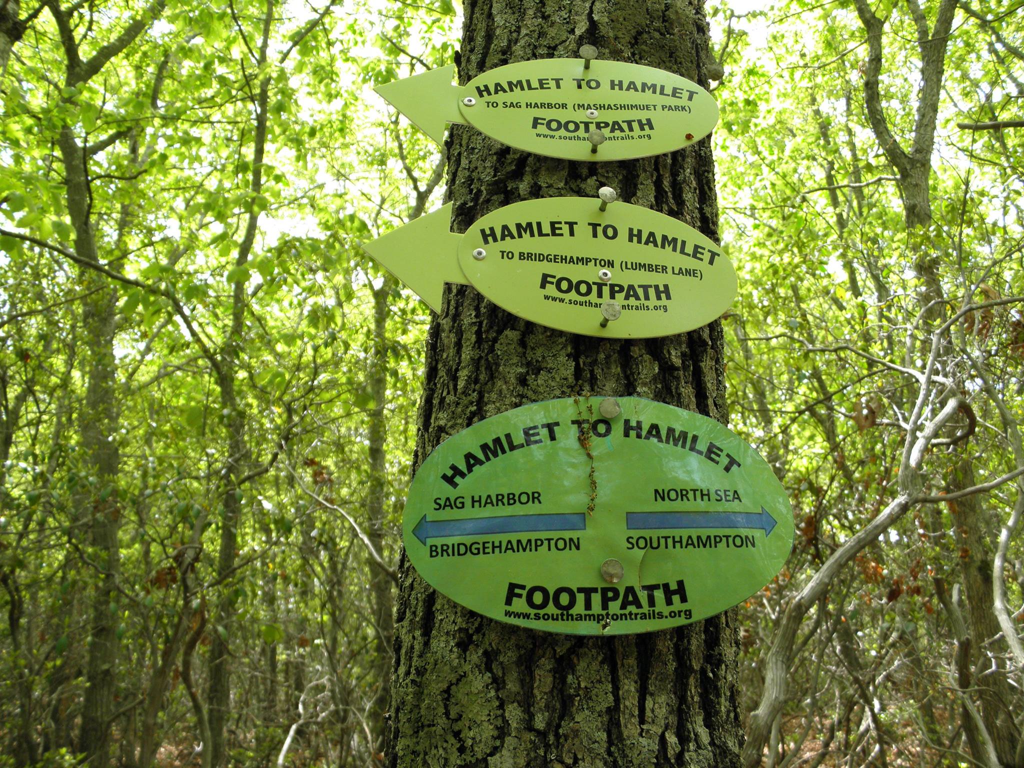
Please consider joining the dedication ceremony and nature walk this Saturday, October 24, at 9 a.m. and getting involved in trails stewardship with the Southampton Trails Preservation Society (southamptontrails.org/). Hope to see you there!
Directions: From the section of Route 27 near Southampton Village also known as County Road 39, turn north at the Magee Street traffic light. Turn right at the stop sign (Tuckahoe School on your right) onto Sebonac Road. Trailhead parking is on the left, approximately 0.2 miles from Magee Street.
Mike Bottini is a naturalist and author of The Southampton Press Trail Guide to the South Fork, Exploring East End Waters: A Natural History and Paddling Guide, and The Walking Dunes: East Hampton’s Hidden Treasure. Check www.peconic.org for Mike’s field naturalist classes
SOUTHAMPTON TRAILS
PRESERVATION SOCIETY
P.O. Box 1171
Bridgehampton, NY 11932
